NASA's Black Marble Project released HD images that shows night-time views of the earth. This new global view of Earth's city lights is a composite assembled from data acquired by the Suomi National Polar-orbiting Partnership (NPP) satellite. The data was acquired over nine days in April 2012 and 13 days in October 2012. It took 312 orbits to get a clear shot of every parcel of Earth's land surface and islands. This new data was then mapped over existing Blue Marble imagery of Earth to provide a realistic view of the planet.
The image was made possible by the satellite's "day-night band" of the Visible Infrared Imaging Radiometer Suite, which detects light in a range of wavelengths from green to near-infrared and uses filtering techniques to observe dim signals such as city lights, gas flares, auroras, wildfires and reflected moonlight.
 |
| World at Night |
 |
| Europe at Night |
 |
| Middle East Asia at Night |
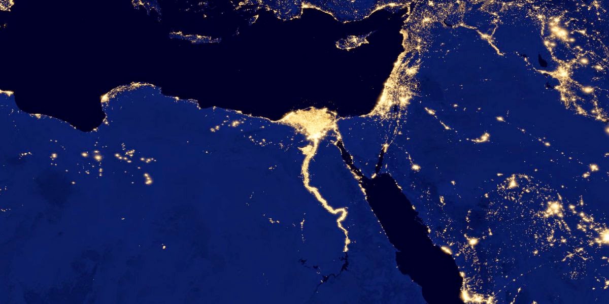 |
| Nile at Night |
 |
| United States at Night |
 |
| North and South America at Night |
 Reviewed by Vasanth
on
June 12, 2014
Rating:
Reviewed by Vasanth
on
June 12, 2014
Rating: