Mammatus Clouds, also known as mammatocumulus, are sagging pouch like cloud formation often associated with strong storms and tornados. the clouds are usually dark and semi-transparent, creating an ominous atmosphere. These clouds are usually seen after the worst of a thunderstorm has passed and indicates weakening of the storm associated with them. Individual mammatocumulus can be 1 - 3 km in diameter and together often can cover over 100s of kilometers of sky.
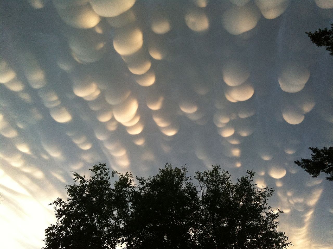 |
| Mammatus Clouds over Saskatchewan on June 26, 2012 |
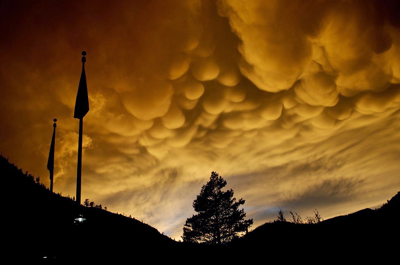 |
| Mammatus clouds over Squaw Valley Ski Resort, Olympic Valley, California on Feb 20, 2011 |
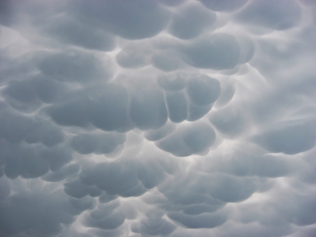 |
| Mammatus clouds over Milan, Italy, on July 2005 |
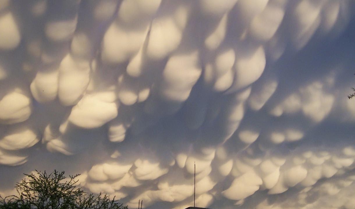 |
| Mammatus Clouds over Mexico on June 7, 2004 |
 |
| Mammatus clouds over Nebraska in 2004 |
During a thunderstrom there is a strong updraft which draws moist warm air up from below. At a specific temperture water molecules condense into water droplets, becoming part of the thunderstorm cloud (anvil cloud). Because of the updraft, the water still rises until it gets to the altitude of 57,000 feet. At this altitude, the water freezes into ice crystals and spreads out horizontally. The ice crystals, grouped together, begin to sink because they have a higher density than the air. When the sinking ice crystals reach the bottom of the thunderstorm cloud, They continue to sink a little farther, creating the mammatus pouch.
 Reviewed by Vasanth
on
May 06, 2014
Rating:
Reviewed by Vasanth
on
May 06, 2014
Rating: